
Look Up Your Lathrop Neighbors
Neighbors around a Lathrop address are best studied through a block-level comparison of official parcel and public-role records. It can help map adjacent land, identify a dated owner or transaction, see a permit at a nearby address, or find a public applicant in a planning record. It cannot create a private roster of every person who lives within walking distance.
| Source | What it shows about a block | Access |
|---|---|---|
| San Joaquin GIS | Adjacent parcel shapes, APNs, situs labels, boundaries, selected layers | Free interactive map |
| Assessor | Ownership, mailing data, values, and parcel characteristics for an identified APN | Public counter or terminal; data fees may apply |
| Recorder | Transactions affecting an individual parcel and named parties | Public index, copies, and counter route |
| LCAP | Permit descriptions, inspections, status, and address activity | Online from May 7, 1997 |
| Planning or council notices | Applicants, parcels, projects, and public land-use roles | City pages or focused CPRA request |
| Voter registration | Not an open block directory | Restricted to statutory purposes |
| Community organizations | Public officers or contact channels when voluntarily published | Organization or city pages; no private roster assumed |
Use the word neighbor for a geographic relationship only after the record’s own role is clear. A nearby parcel owner, a permit applicant, a public meeting speaker, and a household member are not interchangeable.
Map the Parcels Touching Lathrop
The San Joaquin GIS gateway supports the first block step. Search an address, use the map to identify the parcel, then pan to the shapes that touch or sit across from it. The result is a map relationship. It becomes a record relationship only after each APN is checked through its own custodian.
The block flow is simple, but each arrow has a limit: address → parcel polygon → APN → Assessor route → Recorder transaction → LCAP permit → public planning role. The flow does not end in a list of occupants.
- Enter the starting address in San Joaquin GIS or locate it by map.
- Use Identify on the parcel and save the APN, situs label, and selected boundary layers.
- Pan to adjacent parcels and record each APN separately instead of copying one owner across the block.
- Ask the Assessor through the permitted counter or terminal route for ownership and mailing information tied to an identified parcel.
- Search the Recorder, LCAP, or city planning record for a dated event at that parcel.
- Label the result as owner, party, applicant, project, or public role and stop where privacy rules apply.
This process gives Lathrop neighbors a verifiable block shape without assuming that a nearby name is a current neighbor.
Turn Nearby Shapes into Lathrop APNs
GIS layers can vary by application. Address search, APN search, Identify, parcel and boundary layers, basemap choice, zoom, pan, measure, and print or share functions may not appear in the same way every time. A map click is still useful because it lets a researcher inspect the next parcel without guessing its street number.
Keep city boundaries and ZIP layers separate. A Lathrop mailing address can cross the postal boundary logic, while the legal parcel remains the stable land clue. New subdivisions may produce a recorded map, APN change, and city planning record before every map service recognizes the street.
Use the APNs from the map to ask a narrower question at the Assessor or Recorder. Do not use the visible map to claim that a named person occupies an adjacent parcel.
Resolve Lathrop Owners at the Counter
California’s owner-name restriction is especially important at block scale. San Joaquin property information can expose parcel clues online, but assessed owner names are not published through the public internet roll. The lawful route is the Assessor’s public counter, terminal, phone help, or a defined copy or data request. The owner may also be a mailing contact, trust, entity, or prior record owner rather than a current occupant.
Use the Recorder for the next layer. Search a known name as grantor and grantee, narrow the recording dates, and distinguish a deed from a deed of trust, release, lien, map, or decree. A recorded transaction supports a dated property role. It does not create a current neighbor list.
For Lathrop neighbors, the San Joaquin Assessor property-information page and county GIS are the two starting points. A public counter is part of the documented access path.
Review Lathrop Permits Around a Block
LCAP gives an address-based public history from May 7, 1997 forward. A block review can compare permit description, inspections, status, planning or application record, and the named applicant, owner, or contractor where the portal displays it. The result explains public work at a parcel. It does not identify the household.
Plans and a complete permit history need the City Attorney’s CPRA route. Lathrop accepts a web form, email, or postal request and asks for a specific record description. Government Code section 7922.535 calls for an initial determination within ten days, but production may take longer. Security-sensitive details can be withheld under applicable exemptions.
The Lathrop Civic Access Portal is the public gateway for permits, business licenses, planning applications, payments, and inspections.
Compare a permit date with the parcel, deed, or planning notice rather than treating an applicant’s name as a neighbor identity.
River Islands Contacts Are Not Member Rolls
Research on Lathrop community resources identifies River Islands and other master-planned communities as places where management or board contacts may be published. It does not verify a public Lathrop-wide neighborhood-association directory or private member roster. A contact page can help reach an organization. It should not be scraped or presented as a list of households.
| Community source | Public contact use | What remains unproved |
|---|---|---|
| River Islands or master-planned community | Management or board contact if voluntarily published | Private member names, unit occupants, or a complete block roster |
| City community pages | History, project, public-service, or organization information | Private association membership |
| Chamber or business directory | Member business and public representative | Household residents |
| School or yearbook source | Official role or historical class connection | Current address or family roster |
Lathrop neighbors can contact an organization through its own published channel when a community question is legitimate. Do not assume that a public board contact authorizes a request for private members.
A Lathrop Voter Block Search Is Closed
California My Voter Status is a personal verification form. It uses a first name, last name, date of birth, and a California driver license or identification number or the last four Social Security digits when needed. It does not return a public block list. Elections Code section 2194 and related regulations limit voter-file access to authorized political, election, scholarly, journalistic, or governmental purposes.
Voter signatures, Social Security numbers, and driver or state-ID fields are not part of an authorized public extract. A missing voter result is therefore not evidence that a parcel has no residents. Use a parcel, permit, deed, planning record, or voluntarily published community contact for a lawful block question.
The California voter-record privacy guidance explains why a neighbor lookup cannot use a voter roll as a public directory.
The San Joaquin Registrar of Voters is the county election contact, not a public block roster.
The county election image belongs with the statutory limit on voter-file use.
Use Planning Notices for Public Roles
City council, planning, and project notices can identify applicants, parcels, public speakers where recorded, officials, or other public roles. They are useful when a block is changing or a development name needs a parcel match. They do not provide a private household list, and the city may need a focused CPRA request for a record that is not posted.
Describe the address, project, date span, and record type. The city need not create a new compilation or answer a question in place of producing an existing nonexempt record. The city history and planning route are also important for older addresses because Lathrop incorporated after a 1989 election and earlier material can sit with county, railroad, postal, school, church, or newspaper custodians.
Neighbors seeking a planning record should copy public roles exactly. They are not evidence that a person lives next to the project.
Lathrop History Moves the Block
Lathrop began as Wilson’s Station, took its name during Central Pacific construction around 1870, and was a rail stop by 1871. The official city history reports about 600 residents by 1879, a decline after railroad facilities and rural postal customers shifted in the 1880s, a major 1911 fire, and later revival around industry and Sharpe Army Depot. The city incorporated after the 1989 election.
That history changes the catalog search. A pre-1989 block may be indexed under county, postal, railroad, school, church, or newspaper terms. River Islands, Mossdale, Central Lathrop, and the older rail corridor can each lead to different records and dates. No authoritative Lathrop-specific neighborhood-association umbrella list was located, so those names should be treated as planning or community terms unless an official source defines them.
The City of Lathrop history page supplies the local chronology. Its image below helps explain why a present-day block may not have one continuous public label.
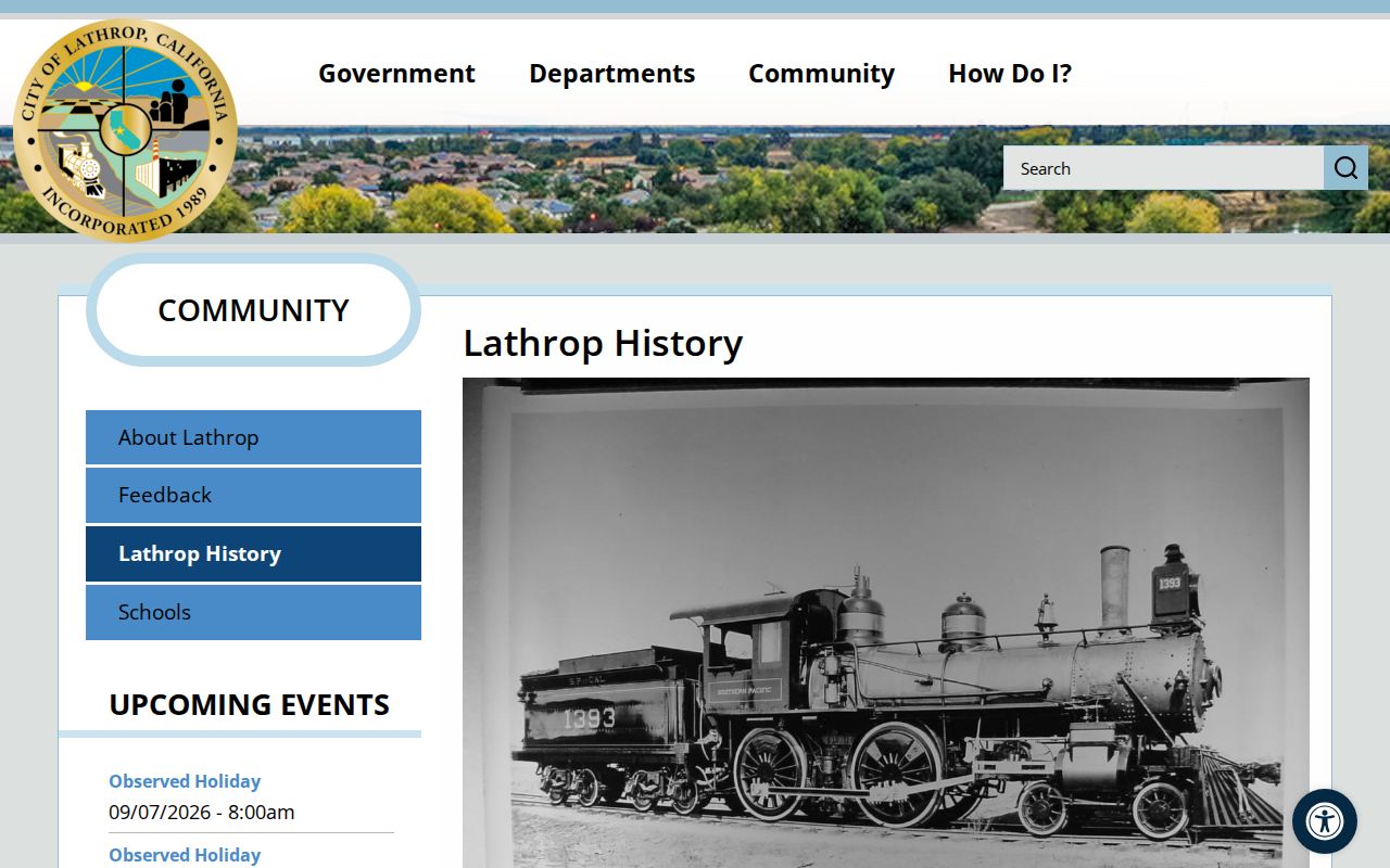
Use the historical name as a search term, then verify the parcel or public role through the current custodian.
Privacy Tools Shape Lathrop Neighbors
California Safe at Home can supply a substitute mailing address and confidential voter registration for eligible people who face safety risks. It does not retroactively erase information already public. Recorded documents may have protected information redacted, and courts withhold sealed, juvenile, adoption, victim, and other confidential material.
California’s Delete Request and Opt-out Platform, or DROP, began accepting consumer requests in 2026 for registered data brokers. A broker deletion request does not delete the Recorder’s deed, a court file, a city permit, or another source record held by a government custodian. It can change what a commercial data page shows, which is a different question from block research.
The California Privacy Protection Agency DROP page is the official privacy route represented below.
Safe at Home has a separate purpose and address-confidentiality process.
The California Safe at Home program explains the substitute-address channel.
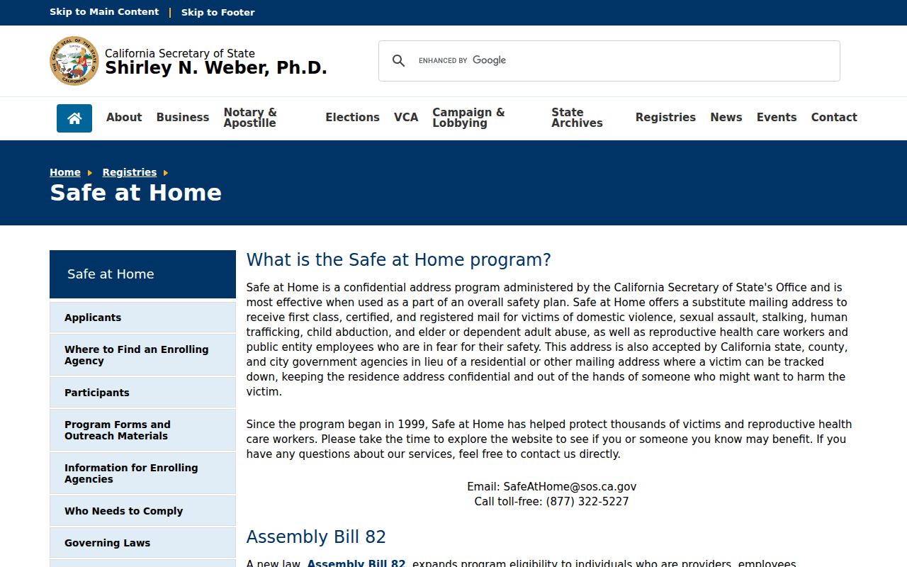
A hidden or changed address can reflect a safety program. Do not try to defeat it with another search.
Official Rolls Versus Neighbor Tools
Commercial neighbor tools may blend public and purchased data into a simple interface. They are not the same as a named county or city custodian. A fair comparison asks what the source can show, how old it is, and where a correction belongs.
| Source category | Useful for | Limit |
|---|---|---|
| Official GIS and parcel records | Mapping adjacent land and APNs | Not a household roster |
| Assessor and Recorder | Defined ownership and recorded transactions | Owner is not automatically occupant |
| LCAP and planning notices | Public work, projects, applicants, and roles | Does not establish private membership |
| Commercial neighbor category | Convenience and combined search clues | Source dates, role labels, and correction route may be unclear |
For a block question, keep the official parcel and public-role record as the source of truth. Use a third-party result only as an unverified lead, never as proof about a neighbor.
Privacy Limits on a Lathrop Neighbor Lookup
A neighbor lookup cannot show every person nearby. Non-owner occupants, children, unlisted households, utility customers, DMV information, protected victims, and Safe at Home participants may not appear. A public map is not permission to identify or approach someone. A public role is not a household fact.
Keep research to family history, property history, estate work, community contact through a published channel, and civic questions. If the question turns toward following, repeated unwanted contact, intimidation, or harm, stop. If a record is wrong, contact the custodian that owns it rather than trying to expose more personal information.
The block is a geographic frame. It is not consent, a private directory, or a complete answer about who lives there.