
Lathrop ZIP Codes and Postal Reach
The researched postal record confirms 95330 as Lathrop’s principal postal code. It reaches the Lathrop core, Mossdale and Central Lathrop, and River Islands addresses as assigned by the Postal Service. Postal service areas can cross an incorporated boundary, and the postal code does not certify a city limit. Verify a new or disputed address with USPS before using it in a records request.
| ZIP | Areas covered | Post office | Notes |
|---|---|---|---|
| 95330 | Lathrop core, Mossdale, Central Lathrop, and River Islands addresses as assigned | Lathrop Post Office; verify current street address and hours at USPS | Postal geography may not equal the incorporated boundary |
No additional Lathrop ZIP or a ZIP split year was verified in the research. Nearby place names should not be imported into a Lathrop ZIP search without an address-level USPS result.
Verify One Lathrop Address First
A ZIP code directory question becomes more reliable when the full address is checked in two stages. USPS answers the mail-routing question. San Joaquin GIS answers the parcel and boundary question. Neither one proves who lives at the property. Keep the complete address, ZIP+4 when returned, APN, and city-boundary result in separate notes.
- Open the USPS ZIP Code Lookup and use “By City and State” for Lathrop, California.
- Use “By Address” for the particular street number, street name, unit, and city.
- Preserve ZIP+4 as mail-routing detail, not as a legal boundary or household identifier.
- Place the address in San Joaquin GIS and turn on parcel and city-boundary layers where enabled.
- Use the resulting APN or legal description for the Assessor, Recorder, or city record route.
The USPS capture below belongs to the first step. Its role is to verify postal assignment before that postal code is used as a filter or search clue.
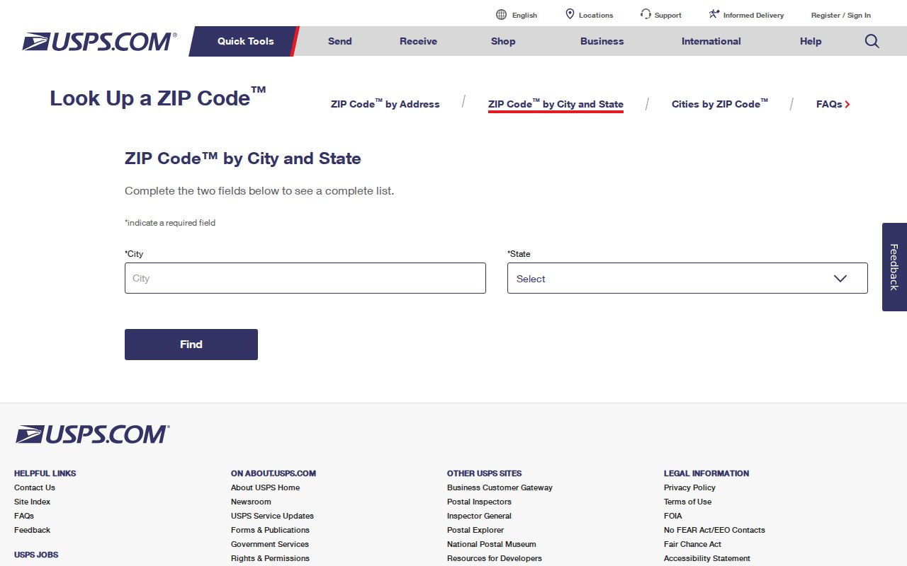
A USPS match does not certify municipal jurisdiction. Use county GIS and official city planning or annexation records for that question.
95330 Is Not Lathrop City Limits
Postal and municipal boundaries answer different questions. A 95330 mailing address can be postal evidence without proving incorporation. Conversely, planning or annexation records can show city jurisdiction while a commercial map or geocoder still lags. For River Islands and other developing tracts, check the city address, county APN, USPS delivery, and any official subdivision or annexation record as separate layers.
Lathrop incorporated after the 1989 election. The city’s 1990 planning area extended west to the San Joaquin River and north to Roth Road. A January 1991 expansion added nearly 5,000 acres of Stewart Tract west of the river. Older sources may therefore use unincorporated San Joaquin County, a rural route, or a nearby place name.
Lathrop ZIP Code Terms in Plain Words
A ZIP code directory can become confusing when postal terms are mixed with land-record terms. The definitions below keep the search field and the record field in their proper lanes.
- ZIP code
- A Postal Service routing area used to sort and deliver mail.
- ZIP+4
- An added four-digit routing detail for a delivery segment, not a city boundary.
- PO-box ZIP
- A postal code assigned mainly to post-office boxes rather than street delivery.
- Unique ZIP
- A code assigned to one institution or organization rather than a broad residential area.
- Carrier route
- A delivery path used by the Postal Service inside a ZIP area.
- APN
- The Assessor’s parcel identifier, which can change after a split or merge and is not the legal description.
The physical property label is the situs address. The tax or contact destination is the mailing address. A subdivision lot, block, map reference, or metes-and-bounds description is the durable land clue used in deeds. A postal label does not replace any of them.
Which Lathrop Portals Accept a ZIP
Only some local portals accept a ZIP as a search field. USPS is ZIP-capable by design. LCAP is keyed to an address or record, and the county GIS may expose ZIP layers where enabled. The Assessor’s internet system does not offer a lawful owner-name or ZIP-wide residents search. My Voter Status uses a person’s private identifiers. California license and unclaimed-property tools may use a ZIP to narrow a public profile, not to list every household.
| Portal | ZIP role | Result scope |
|---|---|---|
| USPS ZIP Code Lookup | City/state or full address | Postal assignment and delivery detail |
| San Joaquin GIS | Layer or map context where enabled | Parcel, boundary, and selected map attributes |
| LCAP | Part of a full postal address when accepted | Permit, planning, license, inspection, and status records |
| DCA License Search | City, county, and ZIP field | Professional credential and public profile |
| Unclaimed Property | City and ZIP with name fields | Reported owner and property summary |
Use the ZIP as a narrowing clue, then switch to the source’s own identifier. The Lathrop by-street record path begins once a ZIP search has produced a specific address.
ZIP Fields on California License Searches
Professional portals show why a postal code is a filter rather than a resident roll. California’s Department of Consumer Affairs search can use board or bureau, license type, license number, business name, first or last name, city, county, and ZIP. The Contractors State License Board offers license number, business name, personnel name, and HIS registration paths. The State Bar uses an attorney name or bar number. Each result describes a credential or public role.
The California contractor license check is one ZIP-aware search captured for the project.
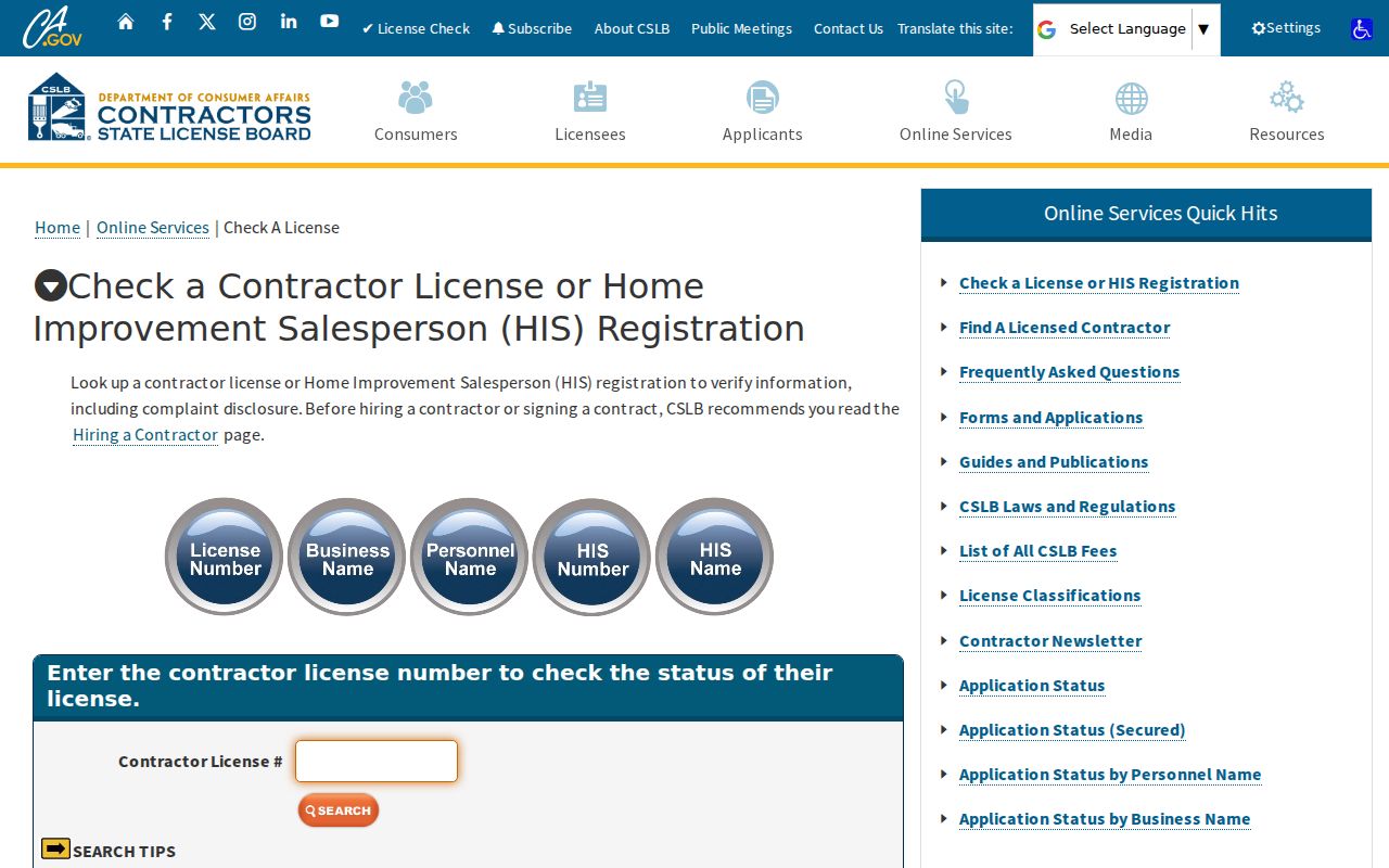
The contractor result can show a license class, status, bond or public discipline detail, but it does not prove a home address or current Lathrop residence.
The DCA License Search provides a broader board and bureau route.
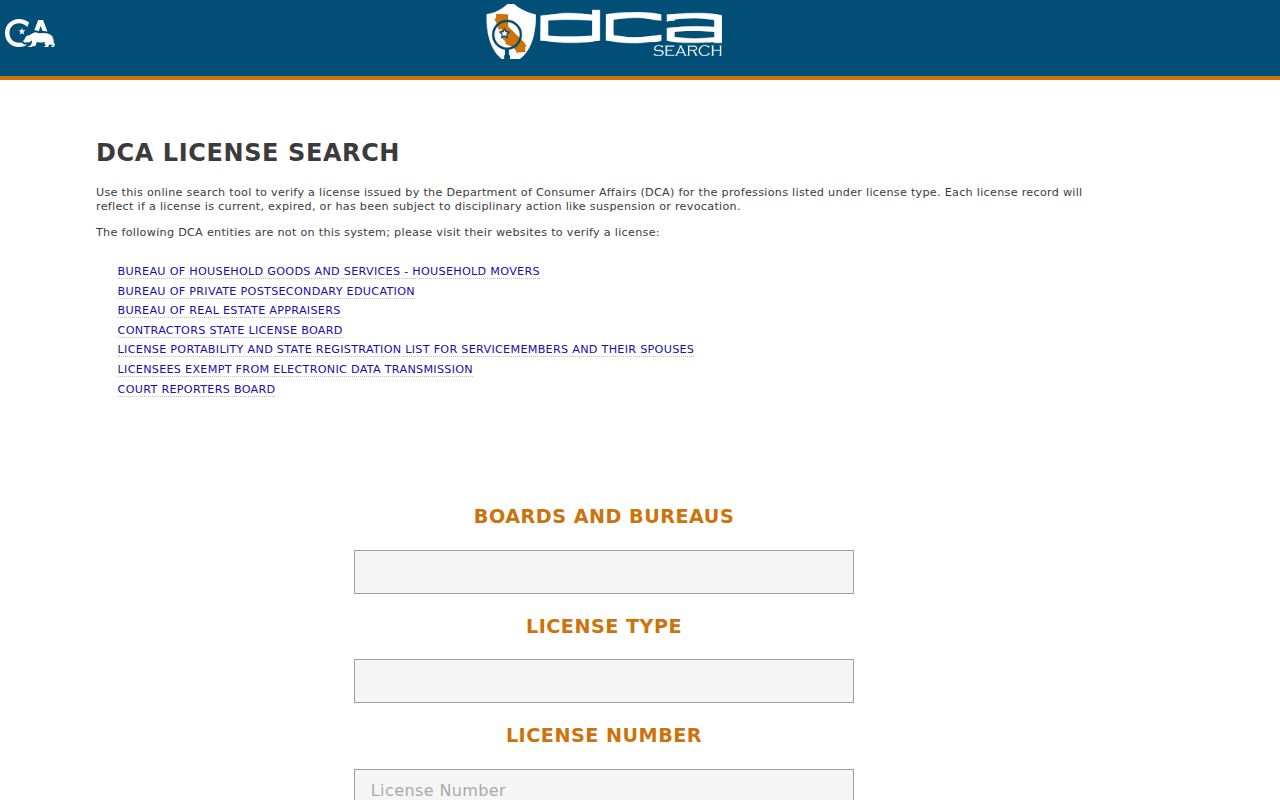
Search by the public profile’s role and city. Do not merge a license contact with a parcel owner without an independent record.
The California State Bar attorney search is another public profile route.
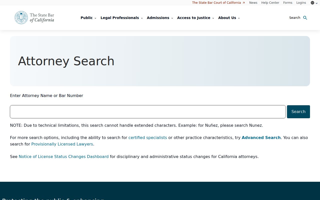
Bar status and discipline information concern a regulated credential. They answer a different question from a ZIP directory.
Use a Lathrop ZIP as an Old Lead
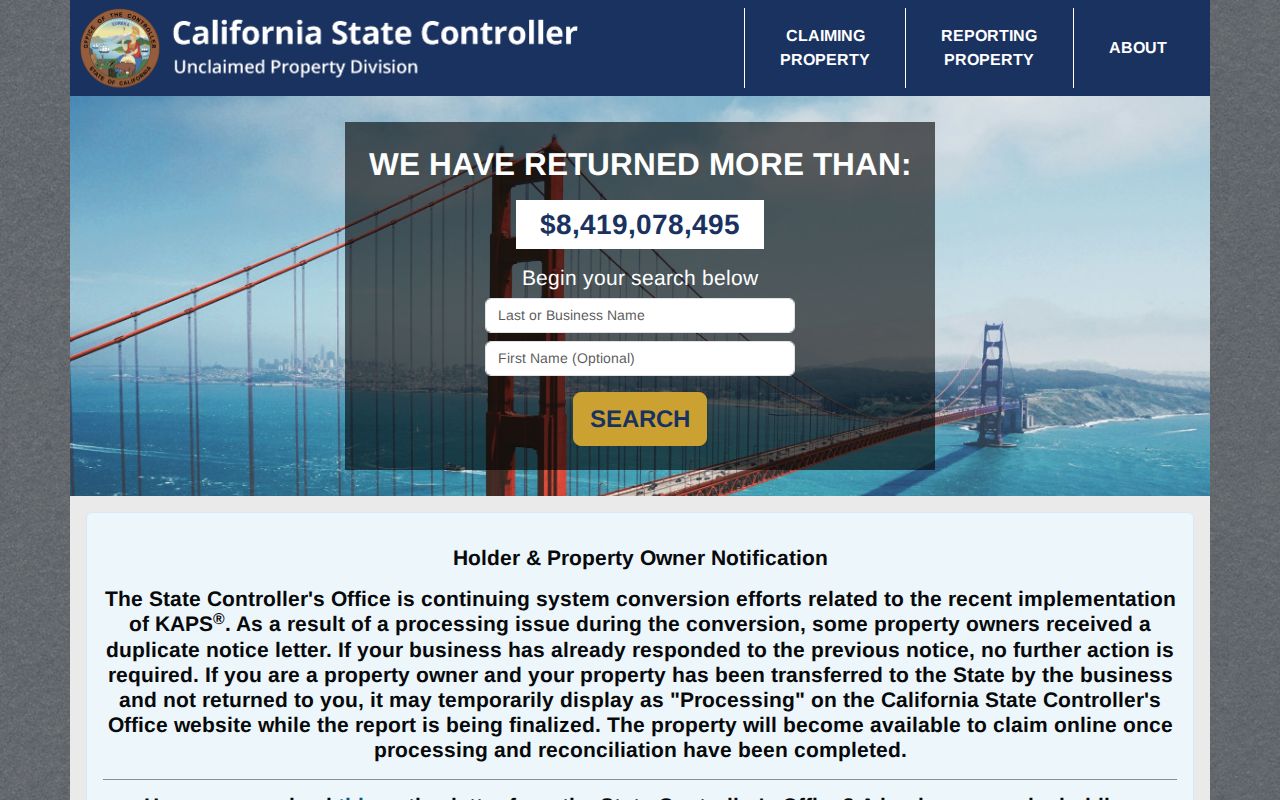
California’s Controller unclaimed-property search accepts a last name or entity, first name, city, and ZIP. A hit can preserve an old reported name, city, or address clue. It is not proof of current residence, and claiming property requires documentation. Search and claim instructions are free, so a demand for an upfront fee or banking credentials is not part of the official process.
The California unclaimed-property search can be useful in a family-history or estate trail when a former mailing city is known.
Keep the ZIP, city, name form, and result date in the evidence notes. Then verify the underlying claim rules with the Controller rather than treating the listing as a person finder.
Do Not Import Nearby ZIP Places
Nearby place names can pull a ZIP code search away from Lathrop. Manteca, Mountain House, Stockton, and unincorporated San Joaquin County may appear in historical, postal, planning, or parcel records, but a place label is not enough to assign an address to Lathrop. Use the full street address and USPS result, then test the parcel in county GIS.
The same caution applies to older directories. A pre-1989 household may be indexed under county, postal, railroad, school, church, or newspaper geography. A modern subdivision may have a legal parcel and city approval before every directory or map uses the current street label. Keep the old and new names in the research trail.
New Lathrop Subdivisions Shift ZIP Clues
River Islands and other growing tracts show the order in which address evidence arrives. Legal subdivision and parcel records can exist while geocoders, consumer maps, and directory databases lag. A postal assignment can also change how a place is described without changing the legal land identity. Confirm the city address, county APN, recorded map, permit history, and USPS delivery separately.
LCAP is address and record keyed, not a ZIP-wide resident list. City planning agendas and project pages can index parcels and locations. Special-district maps show service jurisdiction. Utility customer lists remain private. The ZIP code directory is therefore a geography guide that hands the exact address to the right custodian.
Why a ZIP Directory Cannot List Everyone
A ZIP code cannot reveal every Lathrop resident because the strongest record systems are not public person rolls. The Assessor does not publish owner names through the internet. The voter tool is private verification and voter-file use is restricted under Elections Code section 2194. GIS shows parcels, not households. LCAP shows projects, not occupants. A license or unclaimed-property result shows a defined public record, not a current address roster.
Use a ZIP to narrow a search, then move to a street, APN, case number, entity, or library date. The final answer should identify the record type and the date it represents. This keeps a Lathrop ZIP code directory useful without promising a list the custodians do not publish.