
Lathrop Previous Residents by Era
No single roll names every person who lived at a Lathrop address. Previous residents appear in different records, and each source answers a different question. Deeds identify parties to a transfer. Assessor records connect a parcel to an owner through lawful counter or terminal access. Directories and censuses can show a household at a point in time. Permits show activity tied to an address, not a complete household.
The era map below keeps the search honest. Online access is only one channel. The Recorder's office, the Assessor's counter, library microfilm, museum appointments, archive scans, and focused records requests fill the gaps between published years.
| Source | Years It Covers | Where Held | What It Shows |
|---|---|---|---|
| Recorder instruments | Online Grantor/Grantee index 1968-01-01-present; office digital and film to 1851 | San Joaquin County Recorder portal and office | Parties, transfer or encumbrance dates, document type, and legal description |
| Assessor roll | Current; historical roll years by counter or archive request | San Joaquin County Assessor and public terminals | Owner, mailing and situs fields, values, and property characteristics |
| Lathrop permits | 1997-05-07-present online | Lathrop Civic Access Portal; plans by CPRA request | Project, applicant or owner association, inspections, status, and address |
| San Joaquin city and reverse directories | 1852-1980 aggregate; gaps not listed | San Joaquin Historical Museum and SSJCPL collections | Person-to-address entries; reverse sections only where a volume includes them |
| Haines criss-cross directory | Serial beginning about 1932; 2010 holding confirmed | SSJCPL Ripon reference holding | Address-oriented listed occupant or subscriber; verify Lathrop coverage |
| Federal census | Public through 1950 | National Archives and library databases | Named household on an enumeration date, with relationship and age fields |
| Stockton-area newspapers | Since 1850; “just about all” issues | Chavez Central Library microfilm | Sales, address mentions, society items, deaths, and local events |
| SSJCPL obituary index | 1850-1991 | Library cards and genealogy access | Decedent and article lead; inspect or order the underlying notice |
| Lathrop Sanborn map | May 1898, two sheets | Library of Congress | Building footprint, use, materials, and infrastructure, not occupants |
Start with the source that matches the question. A recent renovation belongs in LCAP. A transfer belongs in the Recorder chain. A family living at the address needs a directory, census, newspaper, obituary, or probate lead. Previous residents become more defensible when two independent records agree on a name, date, address, spouse, relative, or legal description.
Begin Lathrop Past-Resident Research With the Parcel
Start with today's APN and legal description, not with a guessed occupant. The San Joaquin County Assessor-Recorder-County Clerk is the central county office for the deed and parcel trail. Use San Joaquin GIS to locate the address, click the parcel, copy its APN, and note the situs address. GIS supplies parcel geometry and layers. It does not establish who lives there.
The San Joaquin County Property Information gateway does not provide a public internet owner-name search. State law cited by the Assessor bars posting owner names on the internet, while owner information remains available through the office and public terminals. Historical roll years require a counter or archive request. That offline step is part of a lawful Lathrop address history, not a missing feature to replace with an inference.
The Assessor-Recorder-County Clerk office page identifies the county records counter behind a Lathrop parcel search.
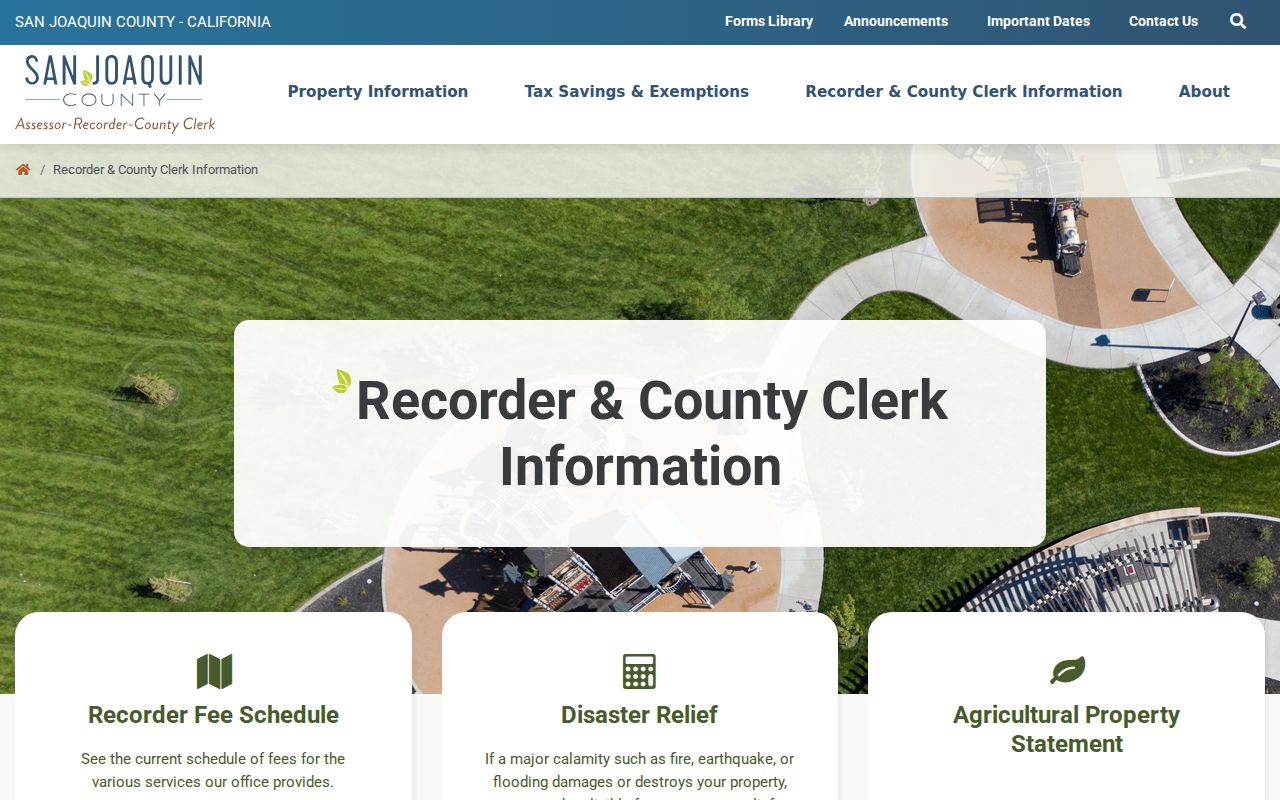
The image belongs beside the parcel-first workflow. Record the APN, situs, tax-mailing address, roll year, subdivision or map reference, and legal description. Situs means the physical parcel location. A mailing address receives tax correspondence. If the two match, owner-occupancy becomes more plausible but is not proved. If they differ, the owner may be elsewhere, yet the parcel may still contain relatives or other occupants.
Trace Lathrop Past Owners Through Deeds
The Recorder describes 168 types of recorded documents dating to 1851. Its online Grantor/Grantee index covers January 1, 1968 to the present. Earlier documents remain in the office's digital or film record set. The recording and retrieving information page explains the index route and the need to search by party name, while the legal description and APN keep the parcel tied to the right instrument.
Use a backward chain. The index is usually name-keyed, and an address is not always indexed as a search term. Search both roles, compare recording dates with the deed's event, and preserve the document number, book and page, or image reference when available.
- Normalize the Lathrop address, locate the parcel in GIS, and copy the APN and legal description.
- Use the Assessor's lawful counter or public-terminal route to identify the current owner and the relevant roll year.
- Search that owner as grantee in the Recorder's online index, using the date range and document type when known.
- Read the acquisition deed, record its grantor, grantee, recording number, date, and legal description, then search the seller as the prior grantee.
- Repeat backward through the online cutoff, then ask the Recorder for the earlier digital or film documents reaching to 1851.
- Grantor
- The person or entity conveying or encumbering an interest in the recorded instrument.
- Grantee
- The person or entity receiving or benefiting from that conveyance or recorded interest.
- Chain of title
- The linked sequence of property instruments that connects one owner or interest holder to an earlier one.
- Legal description
- The subdivision, lot, block, map, or metes-and-bounds identity that can remain stable when a street label changes.
Note: An address can locate a parcel, but the Recorder's name index may require a party name, date range, or legal description.
Lathrop Resident Evidence Has Limits
A deed is evidence of a recorded property event. It is not a household roster. The owner may be an individual, entity, trustee, estate, or prior owner. A tax mailing address can differ from the situs, and a permit applicant can be a contractor or another person tied to the project. Previous residents research must label each result as owner, grantor, grantee, listed occupant, subscriber, applicant, or census household.
Directories and census schedules add the household layer, but neither is complete. A person can be missing from a directory because the publisher did not canvass the route, the household had no listed telephone, a different adult was printed, or the family used another locality. Voter records do not solve the gap. California's My Voter Status is a personal status tool, and voter-file access is restricted to statutory purposes rather than open name or block browsing. Utility and DMV subscriber addresses are not open resident rolls either.
Evidence rule. Treat a deed, tax roll, permit, directory, census line, and obituary as separate evidence types. Two matching records can support a careful lead; one owner name cannot prove who lived in the home.
This distinction protects the value of a Lathrop house history. It keeps a past owner from being called a current resident and keeps a printed directory listing from being treated as a legal title record.
Lathrop Previous Resident Address Shifts
Lathrop's record geography changed as the town grew. Before incorporation, the correct record may sit with San Joaquin County, a postal or rural route, a school or railroad collection, a church, or a newspaper. Lathrop incorporated after the 1989 election. The 1990 planning area reached west to the San Joaquin River and north to Roth Road, and a January 1991 Stewart Tract expansion added nearly 5,000 acres west of the river.
No verified citywide street-renumbering project was located. Do not invent a renumbering year when an old address fails. Compare the legal description, subdivision, lot, block, parcel genealogy, road name, and nearby place labels. The Lathrop CPRA request form is the route for a defined city record series such as address-assignment files, subdivision maps, annexation records, or council resolutions.
| 1850-1851 | County organization and Recorder instruments establish a county-level starting point. |
|---|---|
| Around 1870-1871 | Wilson's Station became Lathrop during Central Pacific construction and served as a rail stop. |
| 1911 | A major fire marks a local history point that may explain a changed business or address trail. |
| 1989-1991 | Incorporation, the 1990 planning area, and the January 1991 Stewart Tract expansion changed the catalog geography. |
The Library of Congress holds a May 1898, two-sheet Lathrop Sanborn map. It can show footprints, use, materials, boundaries, house or block numbers, and fire infrastructure. It does not identify occupants, so use it to test an address or building shape, not to name previous residents.
Lathrop Permit Records Add a Modern Layer
The Lathrop Civic Access Portal combines building permits, business licensing, planning applications, payments, and inspections. Public permit history is searchable by property address from May 7, 1997 to the present. It can expose permit description, inspection history, status, applicant, owner or contractor association, and address details.
Use the portal to place a renovation, inspection, or project in time. Do not treat a permit as a move-in record. An applicant may be a contractor, an owner from an earlier period, or another project participant. Historical plans cannot be viewed or downloaded through the portal. Request plans or a complete permit history through the city's CPRA channel, which accepts web, email, or written requests for specifically identified records.
| LCAP field or action | Type | Required | Use in an address history |
|---|---|---|---|
| Address or location | Text or address selector | Search-dependent | Use street number and street name for the property search. |
| Record or permit number | Text | No | Direct route when a prior record number is known. |
| Record type | Selector | No | Building permit, business license, or planning/application record where exposed. |
| Date or status | Filter | No | Narrow the available permit or inspection history. |
| Search | Button | Action | Runs the public query. |
| Reset or clear | Button | Action | Removes filters where displayed. |
The city's request form says a determination normally comes within ten days under Government Code section 7922.535, but that is not a promise that production occurs in ten days. Ask for a narrow record series and keep the response with the address file.
Note: LCAP is an address-history lead, not a residents list; keep applicant, owner, and contractor roles distinct.
The 1878 Lathrop Directory Entry
The 1878 D. H. Berdine statistical county and Stockton directory is the clearest digitized early sample for previous residents research. Its county section is an alphabetical resident and property table. Lathrop appears as a post-office or locality value beside personal names, and the scan includes road, district, and numeric land-style columns. That makes the book useful for a 1878 name and place lead even when a later address search has no result.
Read the page image rather than trusting OCR alone. Optical text can collapse columns, merge names, or lose a locality heading. Copy the printed name, page, section, and neighboring field labels. A Lathrop entry in this volume shows a directory listing in a county context. It does not prove a person owned the parcel, lived there continuously, or remained in Lathrop after publication.
The archive item gives a direct view of the early directory source used to test a Lathrop address history.
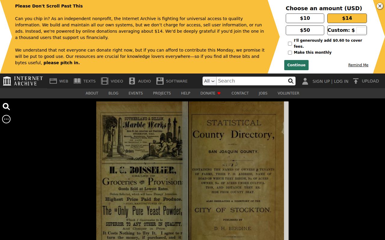
Use the 1878 volume with the county deed trail, newspaper microfilm, and later directory shelves. The combination can show whether a name was tied to a locality, a parcel, a household, or only a brief public notice.
Pair Lathrop Past Residents With Census
Census schedules give a household snapshot on an enumeration date. As of the current 72-year release rule, 1950 is the latest public federal census. Directory years fill some of the space between census dates, but the exact Lathrop run must be verified. The museum aggregate covers 1852-1980 with unlisted gaps, and the Haines North San Joaquin Valley series begins around 1932 with a 2010 holding visibly confirmed at SSJCPL Ripon. The National Archives at San Francisco is a federal starting point for the census trail.
Use the collection details and reading conventions in the Lathrop city directory collections page, then pair the closest records:
- Choose the directory year nearest the known address, death, deed, or family event.
- Find the matching public census schedule, noting the enumeration date, household relationship, age, and place label.
- Compare the directory name, spouse or relative, address, locality, and any reverse-section listing.
- Test a move or disappearance with newspaper pages, the obituary index, permits, deeds, or probate records.
- Mark each year as confirmed, possible, or not located, and keep the reason for every gap.
- Enumeration district
- The census area assigned for enumeration. It helps locate the right schedule when a street or locality label is unclear.
- Directory snapshot
- A publisher's listing for one edition, governed by its canvass, geography, and inclusion rules.
That paired method distinguishes a household snapshot from a title record. It also prevents a name in one year from being stretched into an unbroken claim about all previous residents.
Close Lathrop Resident Trails With Obituaries
Obituaries and probate can close a previous-resident trail when a directory entry ends. Chavez Central Library's Stockton-area newspaper microfilm reaches back to 1850, and images may be viewed, printed, emailed, or saved to USB. Its obituary index covers 1850-1991, but the subject index is incomplete. Search date windows and surname variants, then inspect the article rather than treating an index card as the final record.
The San Joaquin Genealogical Society offers a $5 county obituary lookup by email at research@sjgensoc.org. Probate or court files can bridge heirs and endpoint dates, while recorded estate conveyances can connect a decedent to a parcel. An obituary is a lead about a person and family. A probate file is a court record. Neither should be used to fill a missing address by guesswork.
Note: When an obituary, deed, and directory disagree, preserve the conflict and compare dates, spouse or relatives, legal description, and publication geography.
Lathrop Adoption Records Need Another Route
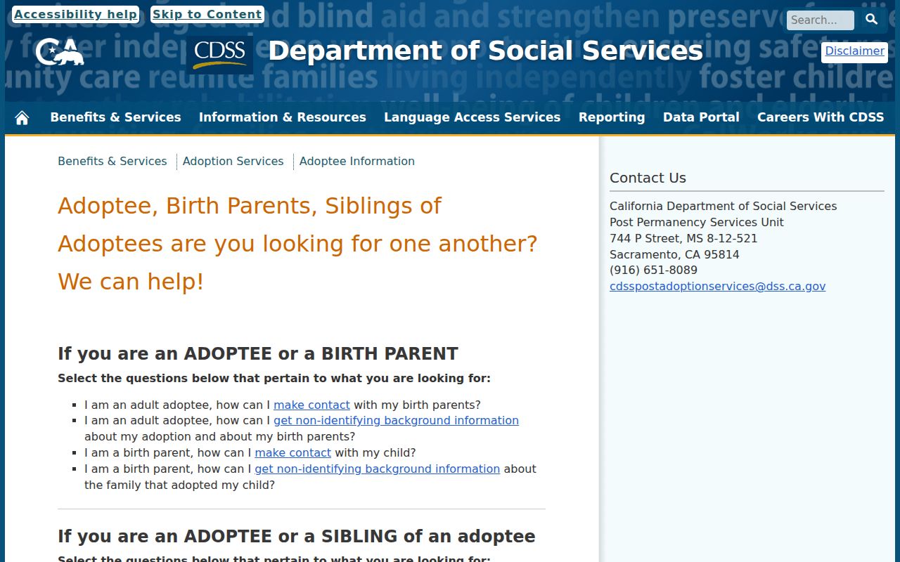
Some previous residents cannot be traced through an open directory or deed chain. A birth parent or adoptee should use the California Department of Social Services adoption information pathway, including its consent and contact processes. Adoption files are confidential, so a public name search is not a substitute for the official route.
The state adoption information page represents the separate, consent-based path for a Lathrop family-history question involving adoption.
Safety can also change what appears in public records. California's Safe at Home program provides a substitute address and confidential voter registration for eligible people who fear for their safety. It does not retroactively remove information already public. Check the program before filing a new public document.
Lawful house history. Previous-resident research in Lathrop belongs to family history, estate work, and personal curiosity. Do not use an address trail to stalk, harass, track, or harm a living person.