
Walk a Lathrop Street by Address
The useful unit in a Lathrop street directory is the parcel, not a claim that every person at a house is known. Start with the exact address and keep the date of the search. San Joaquin County may display a situs label, mailing label, APN, or mapped lot that helps normalize the clue. Once the parcel is stable, each next source can be read for its own role.
The sequence below keeps the address trail in order. It also marks the points where a public record becomes restricted or where a library shelf is needed.
- Enter the street number and name in the county GIS or address-capable portal. If the match fails, try the map and nearby parcel shapes.
- Record the APN, situs address, subdivision, lot, block, and map reference. Treat the APN as a join key, not as a legal description.
- Use the Assessor’s lawful counter, terminal, phone, or copy route for assessed ownership and mailing information. California bars owner names from the public internet roll.
- Search the Recorder Grantor/Grantee index by owner name, both party roles, date range, and document type. Follow the legal description rather than relying on address text.
- Check the Lathrop Civic Access Portal for permits, inspections, and status from May 7, 1997 forward. Request plans through the city records process.
- Use the voter-status route only for a person’s own verification or an authorized purpose. It is not a public street roster.
- Ask Chavez Library or a regional archive whether a reverse or criss-cross directory includes the Lathrop address for the year in question.
This is the core street-directory method: address to parcel, parcel to role, role to dated instrument, then past context. A current owner, a permit applicant, a voter registrant, and a former listed subscriber are separate findings.
Lathrop Records Searchable by Street
Not every record is indexed by street. GIS and LCAP are address-friendly. The Recorder is mainly name and legal-description keyed. The Assessor provides address and parcel clues but keeps owner names off the internet property roll. Voter records are not a lawful public street directory. The coverage table shows where the address angle works and where it stops.
| Address-keyed source | What it can show | Access | What it cannot establish |
|---|---|---|---|
| San Joaquin GIS | Parcel geometry, APN, situs, boundaries, selected layers | Free interactive map | Occupants or a household roster |
| Assessor property information | Parcel, values, characteristics, mailing and situs clues | Web clues, counter, terminal, phone | Every resident at the address |
| Recorder instruments | Parties and property link at a recorded event | Index, image, copy, counter | Continuous occupancy |
| LCAP permits | Project, applicant, contractor, inspections, status | Online from May 7, 1997 | Who lived there |
| Tax Collector | Bill, tax status, delinquency, APN relation | Web and counter | Current occupant |
| Reverse directory | Listed subscriber or occupant for a publication year | Library if coverage is verified | Unlisted people or legal ownership |
| Census schedule | Household on an enumeration date | Public through 1950 | Years between schedules or current residents |
A street directory is strongest when the result is labeled by source and date. “Owner in a recorded deed” is narrower than “person at the address.”
Turn a Lathrop Address into an APN
An APN is the Assessor’s parcel identifier. It is the bridge between a street clue and the county’s land records. Search the San Joaquin GIS map gateway by address or APN, then use Identify on the parcel. Address autocomplete, map click, parcel layers, city boundaries, basemaps, zoom, pan, and optional measure or print controls can vary by application.
If the address does not resolve, try the street without a unit, use a nearby parcel, or browse the line of lots. For new subdivisions, the legal subdivision map and city approval may exist before every map or directory catches up. River Islands and other developing tracts make this order especially useful.
| Address | Enter the street clue or use the map to locate the structure. |
|---|---|
| APN | Use a direct parcel query when the identifier is known. |
| Identify | Click a polygon to open its attributes or pop-up. |
| Layers | Turn on parcel, boundary, or thematic layers when enabled. |
| Browse | Pan along the street to see adjacent parcels and APNs. |
The GIS screenshot below is a visual reminder that a Lathrop street directory begins with mapped land, not an assumed list of occupants.
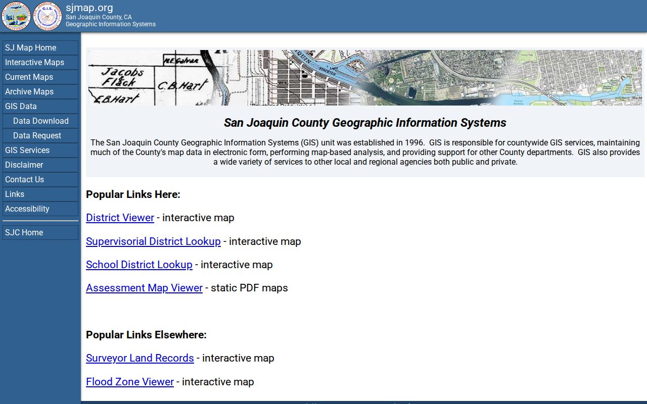
Save the APN and legal-description clues before you leave the map. Those details make the next county request more precise.
Read Lathrop Situs and Mailing Clues
A situs address is the county’s physical property label. A mailing address is the tax or contact destination. They may match, but they answer different questions. A legal description identifies land through a subdivision, lot, block, map book and page, or metes-and-bounds language. A ZIP code routes mail. None of those terms alone names every person at a home.
- Parcel
- A mapped unit of land represented in GIS and assessment systems.
- Situs address
- The physical address associated with a parcel or structure.
- Plat
- A recorded map that lays out lots, blocks, streets, and easements in a subdivision.
- Criss-cross directory
- An address-ordered directory that can point from a street to a listed subscriber for a particular year.
- Legal description
- The land identity used in recorded instruments when an address changes or is incomplete.
When a Lathrop street has a unit number, rural history, or recent subdivision name, keep every version of the label. Search by the current address for GIS, then use the APN and legal description for the deed trail. Do not discard an older road name just because USPS now prefers another form.
San Joaquin County’s parcel and boundary layers can help with city-limit questions. A mailing address in Lathrop, California, is postal evidence. It is not, by itself, proof of incorporated jurisdiction.
Why Lathrop Owner Names Stop Online
California’s Assessor rule creates a notable asymmetry in the Lathrop street directory. A map and APN can be available online, while an assessed owner name is not posted through the internet property roll. This does not mean the county has no ownership information. It means the lawful access path runs through public terminals, the counter, phone help, or a defined copy and data request.
The Assessor office at 44 N. San Joaquin Street, Suite 230, Stockton, lists weekday hours of 8:30 to 4:30 and phone number (209) 468-2630 in the research material. The July 2024 fee sheet includes small charges for screen copies, building-record copies, and parcel maps, plus larger charges for characteristics and data products. Confirm current fees before travel or payment.
The San Joaquin property-information page is the correct public starting point. It is better to explain this counter route than to promise a web owner search the county does not publish.
LCAP Work History by Lathrop Address
Lathrop’s Civic Access Portal is an important address record because it gives a dated project layer. Public permit history runs from May 7, 1997 forward. The search can expose a permit or record number, address or location, record type, date or status, description, inspection history, and applicant, owner, or contractor association where displayed.
LCAP covers building permits, business licenses, planning applications, payments, and inspections. It does not establish occupancy. Plans cannot simply be viewed or downloaded from the public guidance route. Ask for plans or a full history through the City Attorney’s online CPRA form, email, or postal channel. The city says its initial determination is normally within ten days under Government Code section 7922.535, but production may take longer.
The official LCAP permitting guidance explains the address search. The image below ties the permit trail to the street directory without turning a construction record into a resident claim.
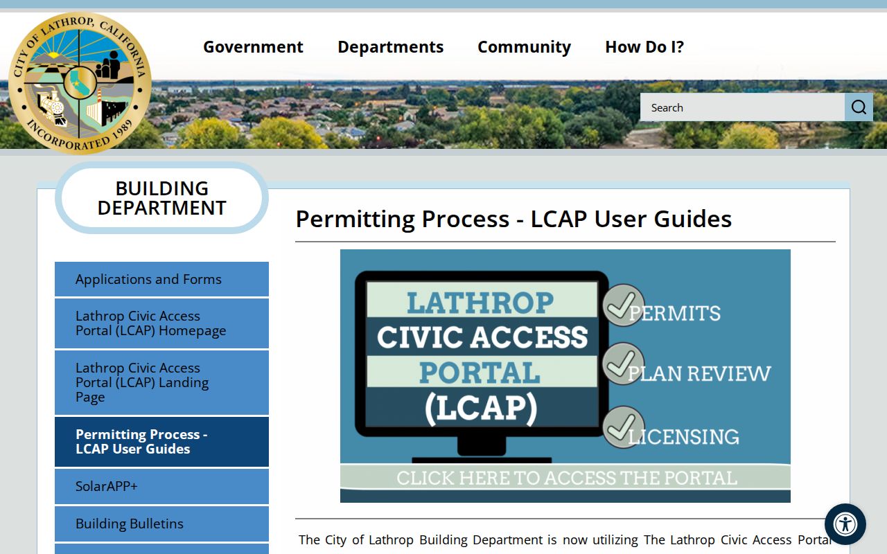
Keep the permit date and role. A contractor, applicant, and prior owner can all appear on one address with no evidence that any one of them lived there.
Trace Lathrop Deeds by Name
The Recorder’s Grantor/Grantee index is where the street address changes into a name trail. The online index covers January 1, 1968 to the present. The wider record universe reaches to 1851 through office digital and film documents. Search grantor and grantee roles separately, preserve indexed spelling, test business or trust names, and narrow by recording date. An address may not be the index key.
Begin with the APN and any current owner information obtained through the Assessor’s lawful route. Retrieve the acquisition deed. Note the grantor, grantee, recording number, recording date, and legal description. Search that grantor as a grantee before the conveyance. Repeat backward. Trusts, corporate transfers, quitclaims, name changes, probate, and court decrees can make the chain appear to break.
| Index field | How it works in a street search |
|---|---|
| Grantor / grantee mode | Run both roles because a seller and buyer reverse position in the next transfer. |
| Last, first, middle | Use the filed spelling, surname variants, initials, and entity names. |
| Date range | Separate a current acquisition from older chain links. |
| Document type | Separate deeds from deeds of trust, releases, liens, maps, and decrees. |
| Book/page or document number | Use a known older citation for direct retrieval. |
The Recorder’s recording and retrieval page is the source for the public index route. Its screenshot below belongs with the name-keyed chain method.
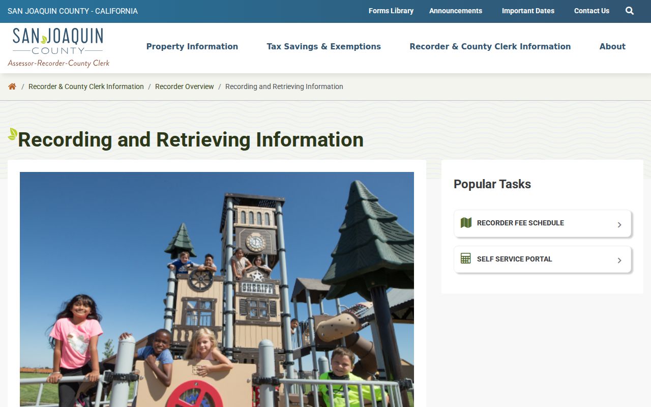
An index hit is not a certified conclusion. Read the instrument or order the appropriate copy when the legal description or party role matters.
Use Recorded Maps Along a Lathrop Street
Recorded maps and subdivision documents can solve an address problem that a simple street search cannot. They preserve lot and block structure, show how a new tract was divided, and give a stable legal-description route when a road name, unit, or postal label has changed. The Recorder’s office lists maps among its recorded document types, and the broader instrument collection begins in 1851.
Search the map or document citation with the APN and the names found in the deed chain. Compare the map with San Joaquin GIS and with Lathrop planning or annexation material. River Islands and other developing tracts may show legal parcel changes before every consumer map or directory recognizes the new street.
Use the Recorder’s recorded documents and maps guidance when a Lathrop street record needs a map rather than a simple name hit. The office counter and copy route remain part of the process.
The recorded-maps capture below belongs with this map and legal-description step.
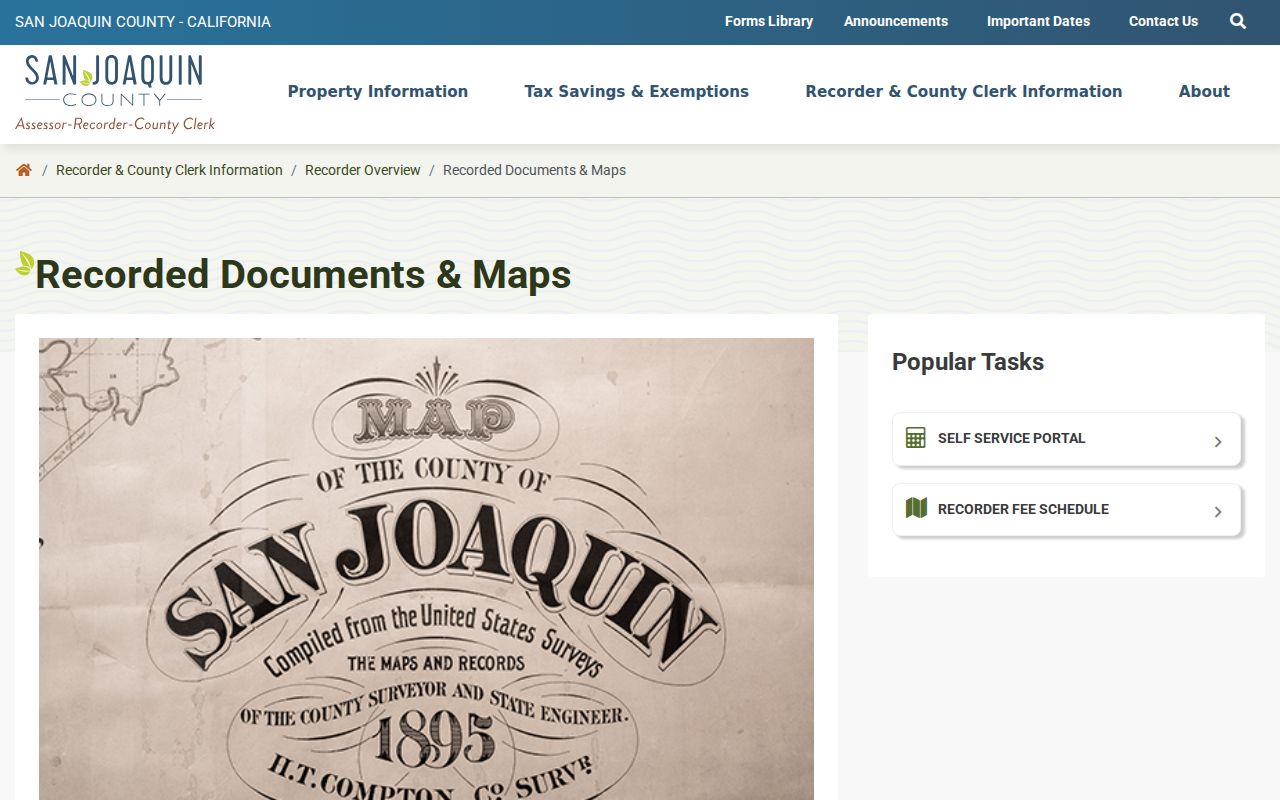
A map citation can bridge a new subdivision or an older street label when the parcel remains the same.
Ask Chavez for a Lathrop Reverse Directory
A printed criss-cross directory reverses the usual alphabetical order. It may let a researcher start with a street and find a listed subscriber or occupant for the publication year. The research confirms a Haines North San Joaquin Valley serial from about 1932 onward and a 2010 holding at SSJCPL Ripon reference, but it does not establish that every volume includes Lathrop.
Ask Chavez Local History staff to verify the title, publisher, year, geographic coverage, and whether Lathrop appears in the street section. The regional museum’s aggregate city and county directories run from 1852 to 1980, with gaps not listed. A reverse directory entry is historical evidence for a listed name and address, not proof of title or every member of a household.
When an older name needs present-day confirmation, the historical shelf and modern address chain should meet only through dates and a second record. The Lathrop city directory collections page handles the shelf-reading side; this street directory keeps the focus on the address key.
Lathrop Streets Cross Old Boundaries
Lathrop incorporated after the 1989 election. Before that point, a street may be described through unincorporated San Joaquin County, a rural route, a railroad or postal term, a school, or a nearby place. The city’s 1990 planning area reached west to the San Joaquin River and north to Roth Road. A January 1991 expansion added nearly 5,000 acres of Stewart Tract west of the river.
No authoritative source in the research verifies a citywide street-renumbering project or a ZIP split year. Do not invent one. When an older address fails, test a subdivision name, township or range, legal description, previous road name, parcel history, and city annexation record. Ask Lathrop Public Works or Community Development through the city CPRA form for a defined address-assignment or street-name record.
ZIP 95330 is postal geography, not the final city-limit test. Use USPS for delivery, county GIS for parcel and boundary layers, and city planning records for jurisdiction.
Limits on a Lathrop Street Directory
A street directory cannot show every current resident. Non-owner occupants, children, unlisted households, utility customers, DMV information, protected victims, and Safe at Home participants may not appear. A voter file is restricted to statutory purposes. A tax record can identify a taxpayer while missing the occupants. A permit can identify a contractor while saying nothing about a household.
California’s privacy rules are part of the search result. Courts withhold sealed, juvenile, adoption, and protected-victim material. Recorded documents may require a redaction request for protected information. A public address is not permission to confront, follow, threaten, or harass a person.
The street directory is most reliable when it says “recorded owner,” “permit applicant,” “listed subscriber,” or “census household” instead of using one broad word for all of them.
Cross-Check a Lathrop Street in Print
Chavez Central Library’s Stockton-area newspaper microfilm reaches back to 1850 and is described as nearly comprehensive, even though the subject index misses some years. Search a date window around a deed, permit, sale, death, planning notice, or probate filing. View, print, email, or save the relevant frame. Then cite the paper title and publication date rather than treating a clipped name as a complete identity.
Public census schedules reach through 1950 under the federal 72-year rule. They can show a household on an enumeration date, relationship, age, and other schedule fields. They do not fill every year between schedules, and Lathrop’s post-2000 growth is absent from that public census window. Pair print sources with the APN, deed, permit, or obituary date.
A dated newspaper notice or census household can strengthen a street-directory trail, but it should remain one layer in a chain. The more the address has changed, the more important the legal description and parcel history become.